
Full-Frequency RTK Area Measurer P10 Series: Centimeter-Level Area Measurement; Supports PPP, 4G Differential, and Full-Frequency Positioning
Full-Frequency Edition Highlights: Supports BDS/GPS/Galileo/GLONASS/QZSS/IRNSS/SBAS full-frequency points, with fast satellite acquisition and rapid positioning Three Versions: P10 Dual-Frequency Single-Point (PPP), P10RTK Dual-Frequency RTK (4G Differential), P10 Full-Frequency RTK (Full-Frequency Centimeter-Level Accuracy) The entire series supports area, length, fixed-width, and elevation difference measurements Supports terrain analysis, water level marker placement, and grid-based planting 2.8-inch screen, IP65 rating, 13-hour battery life Bluetooth/NFC connectivity with the Binghe Surveying app
Overview
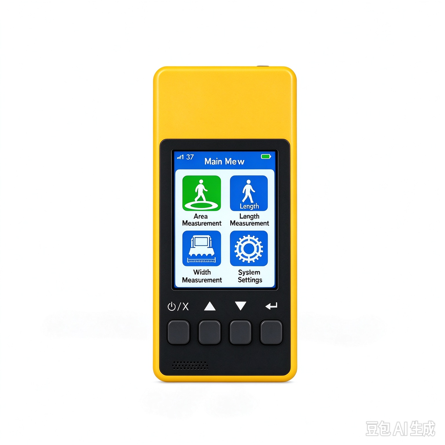
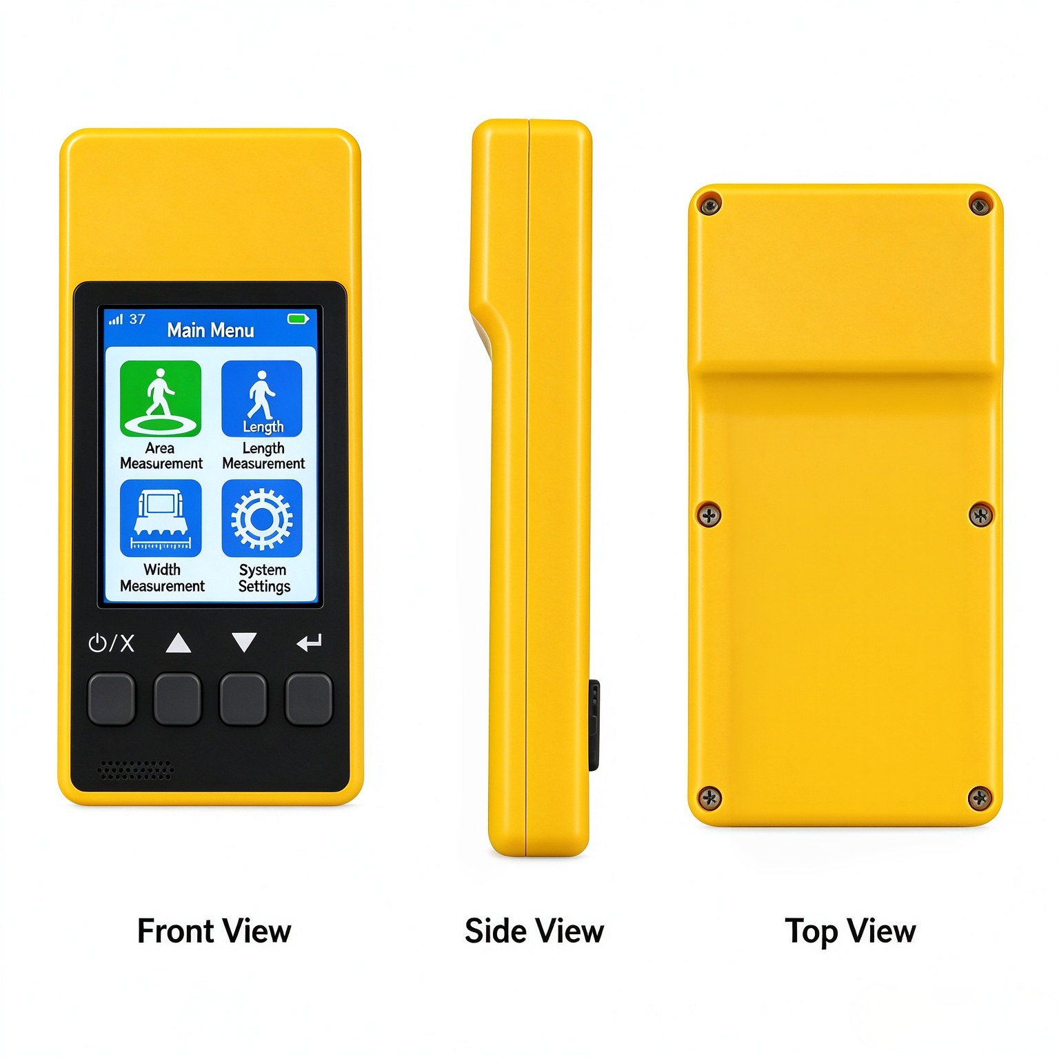
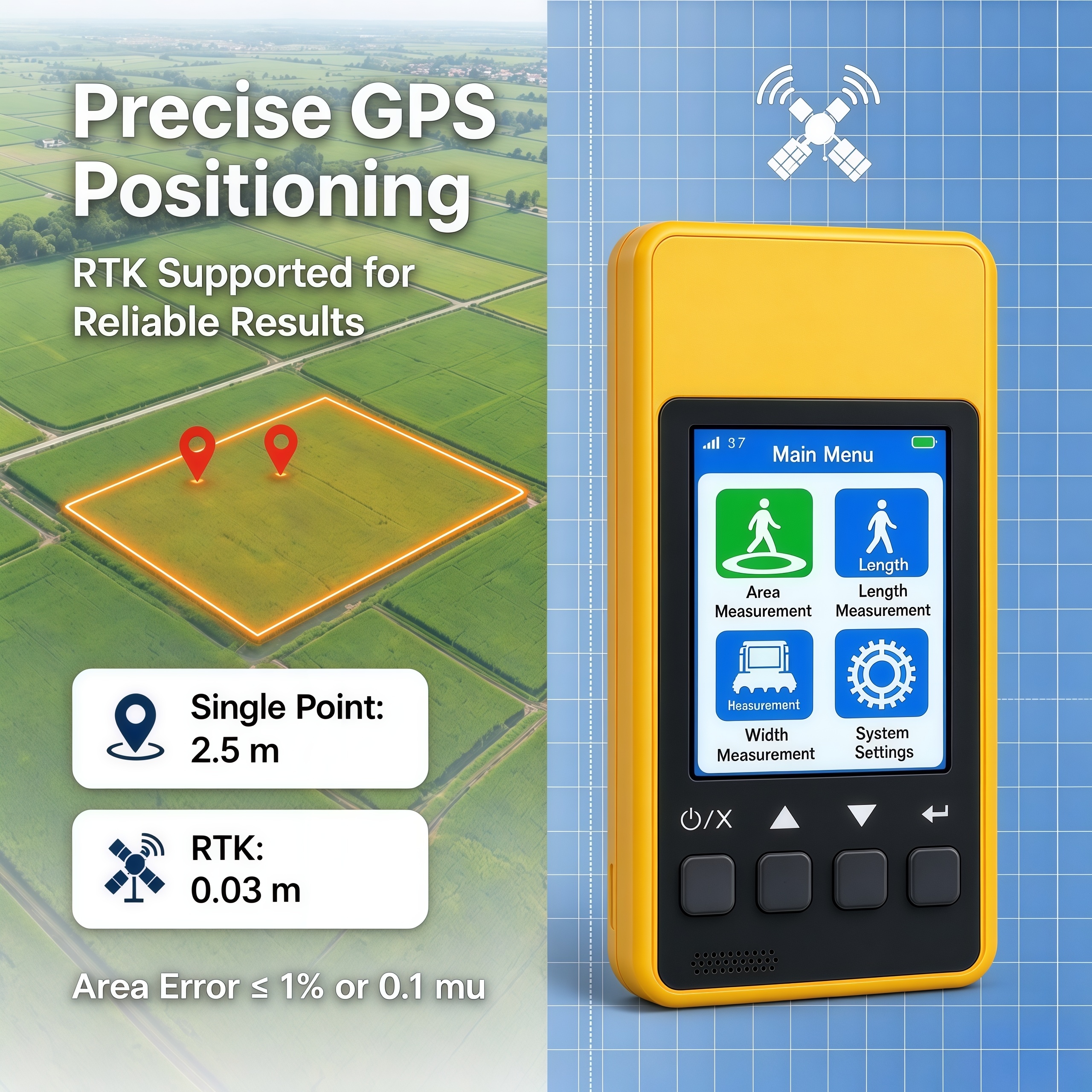
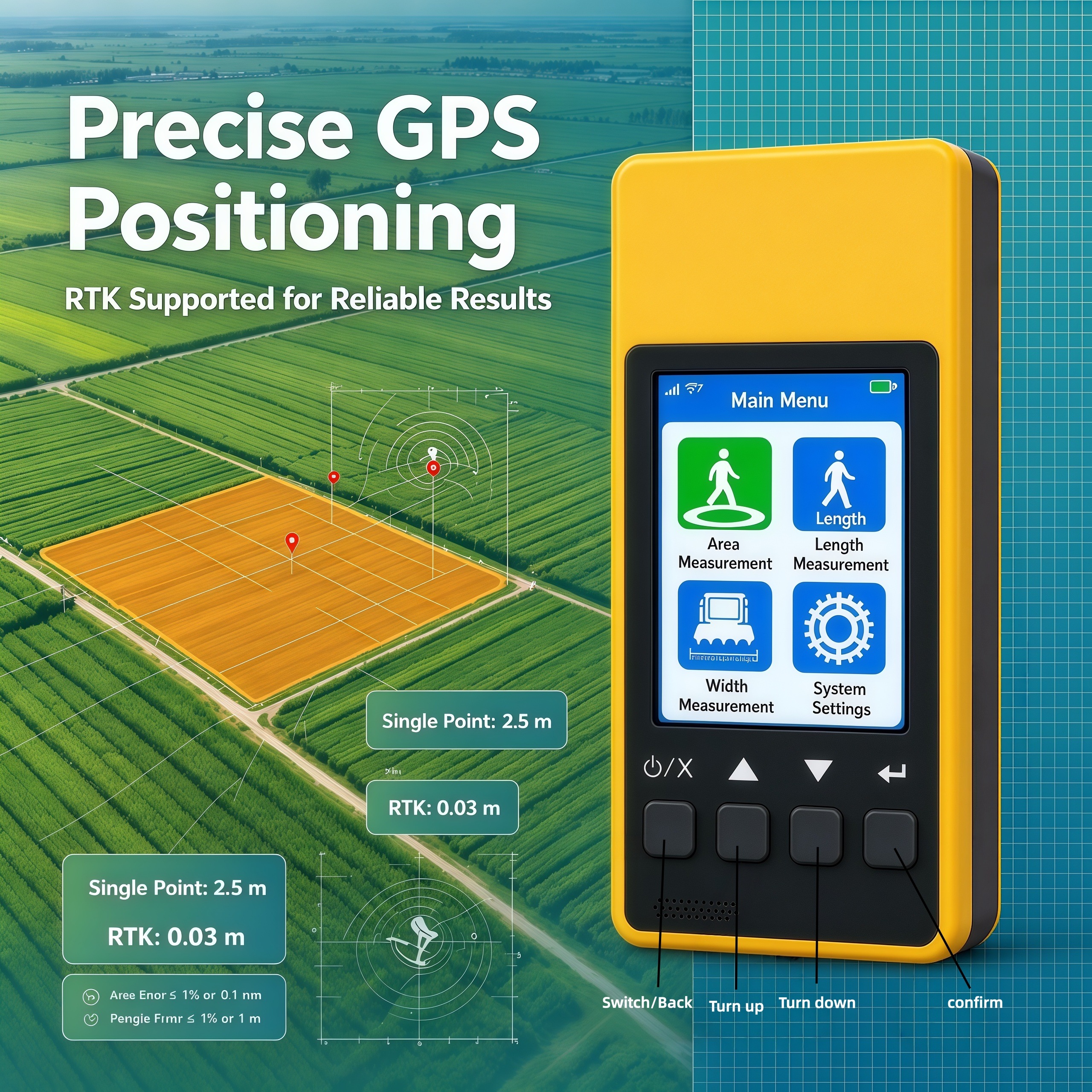
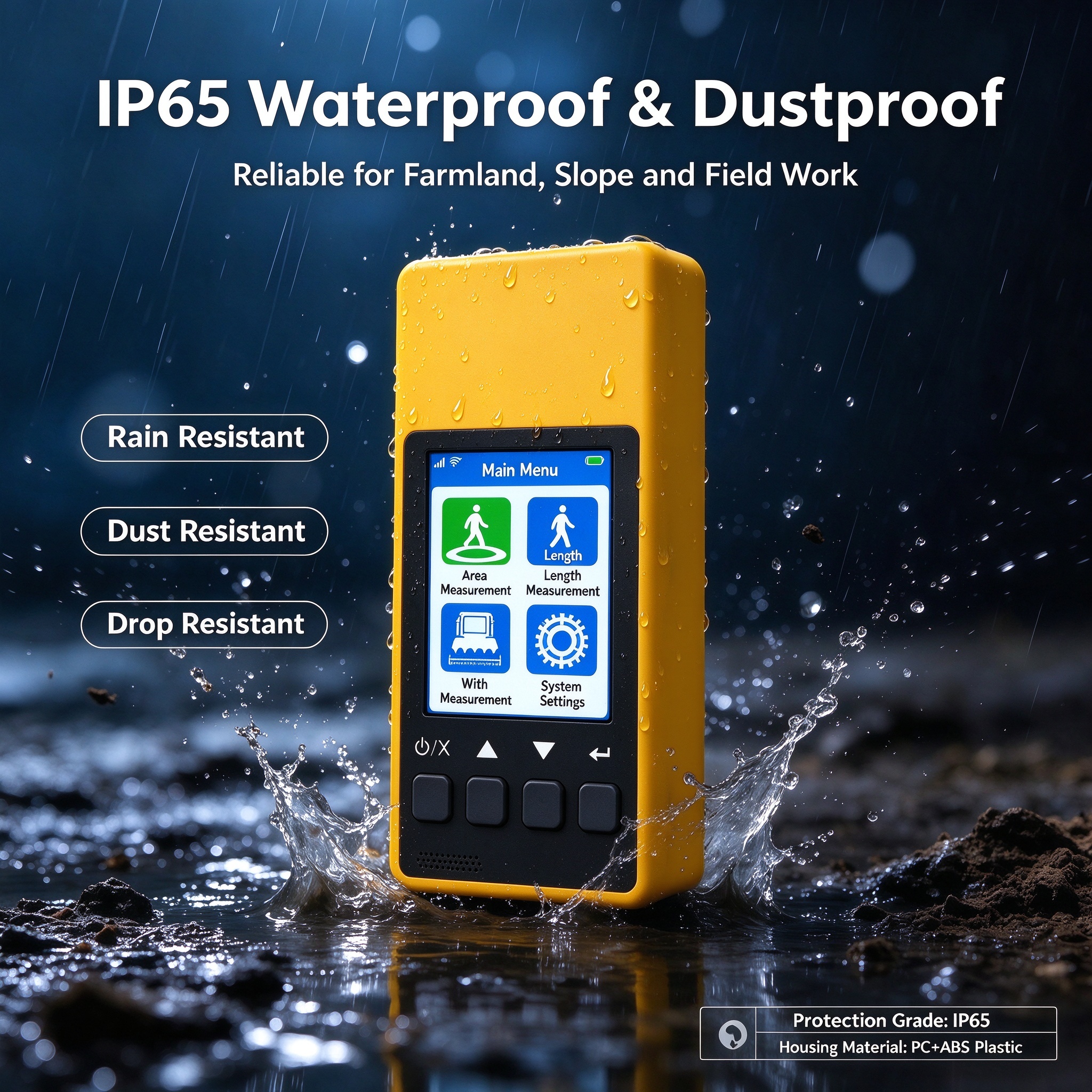
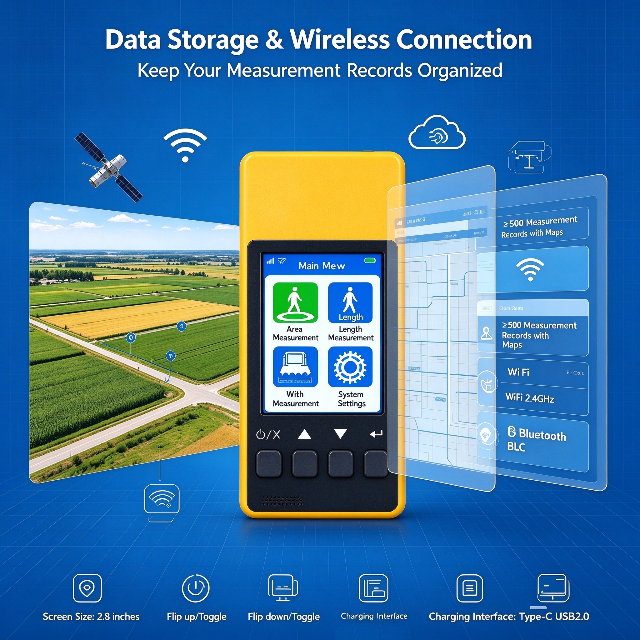
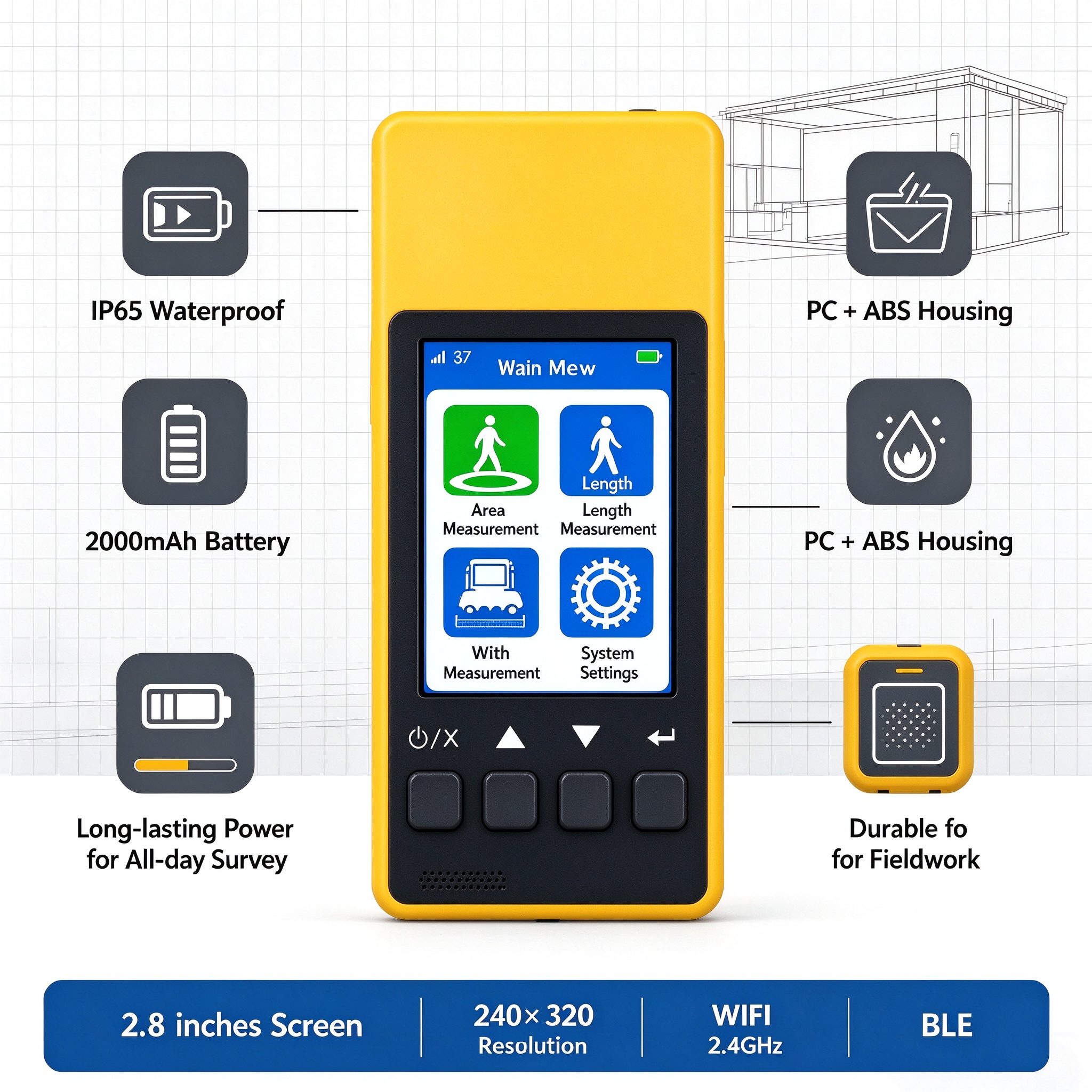
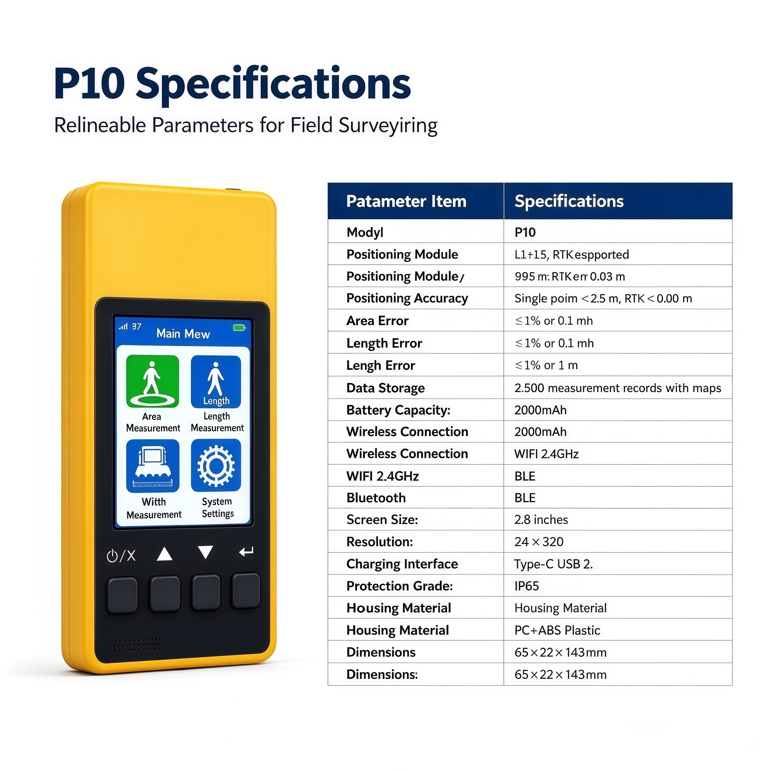
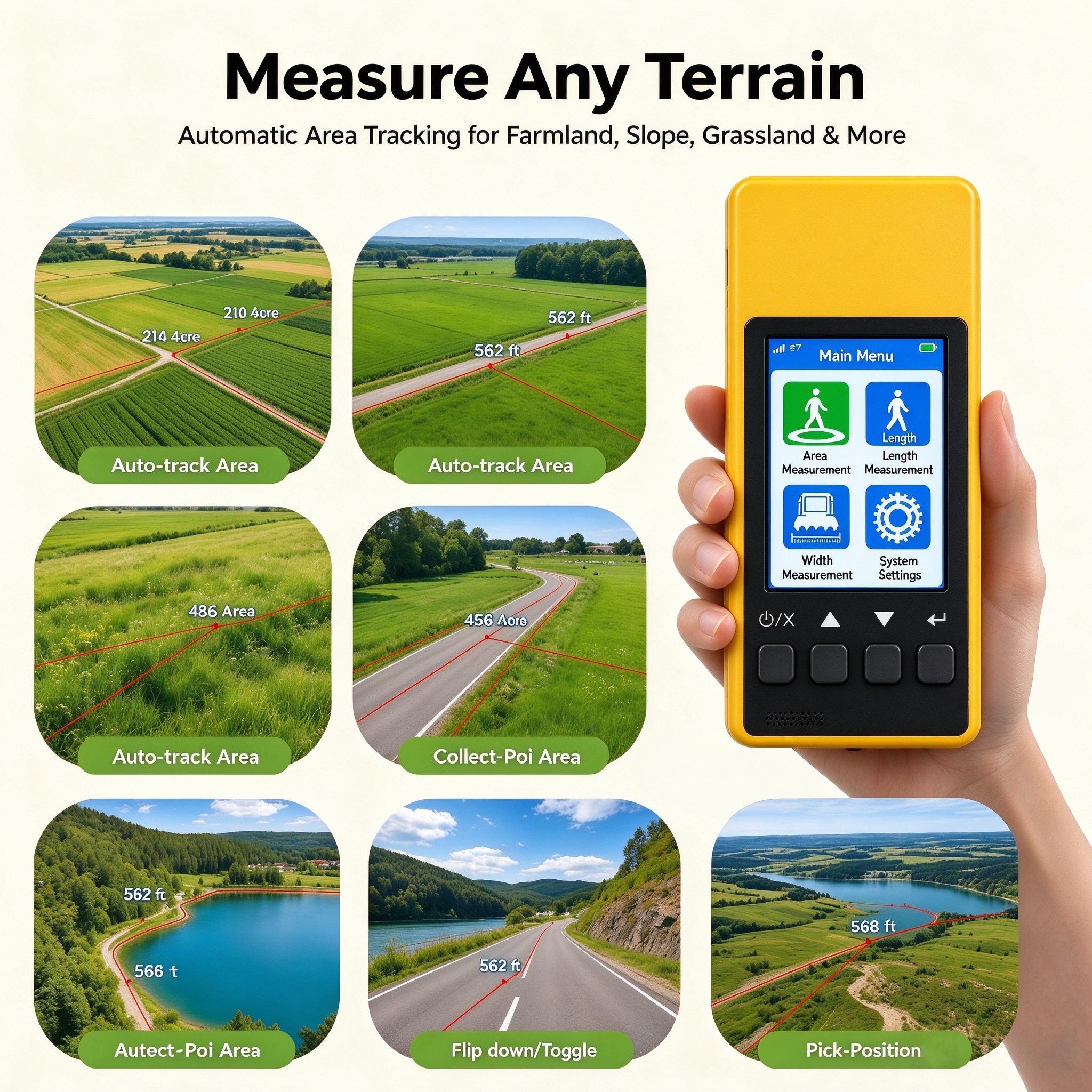
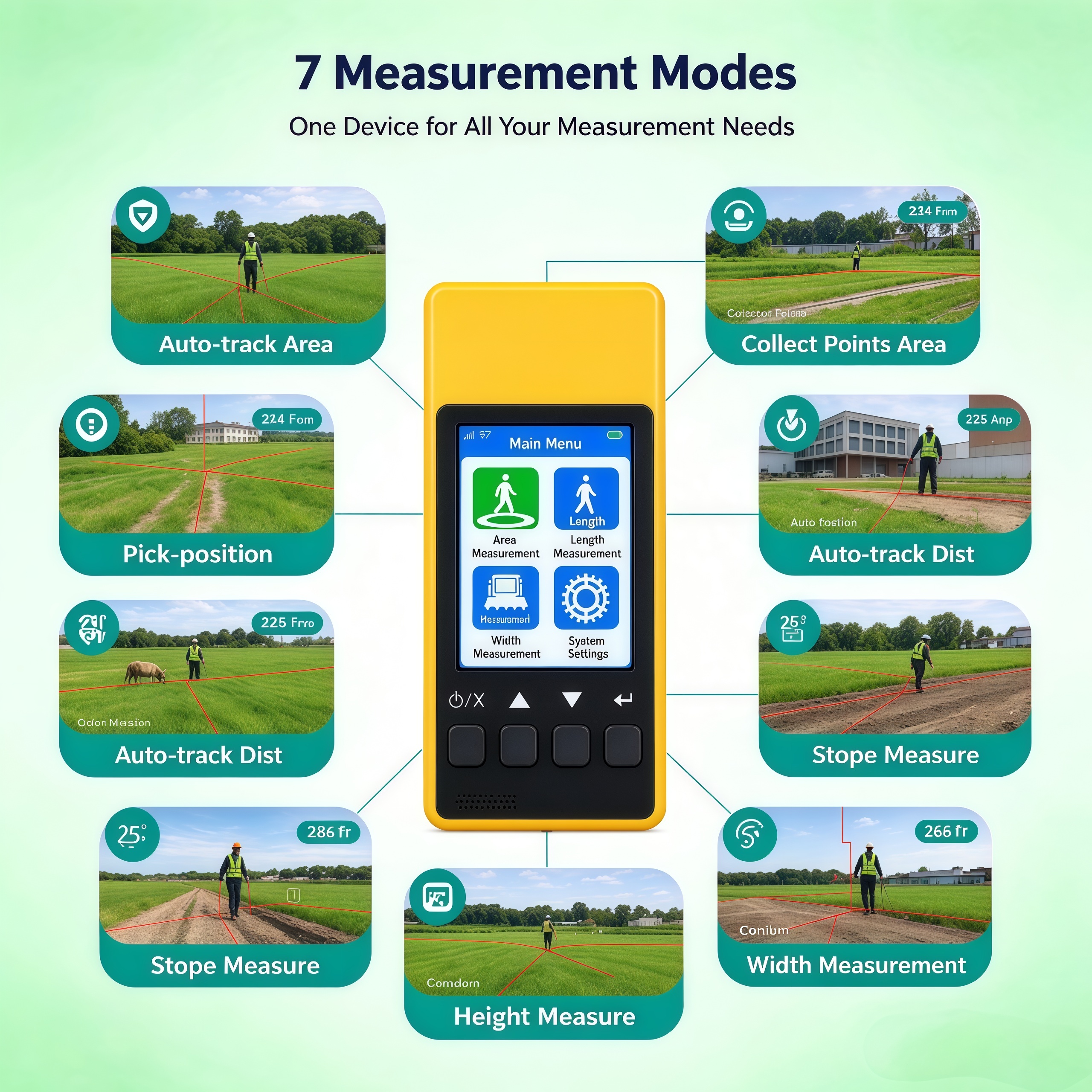
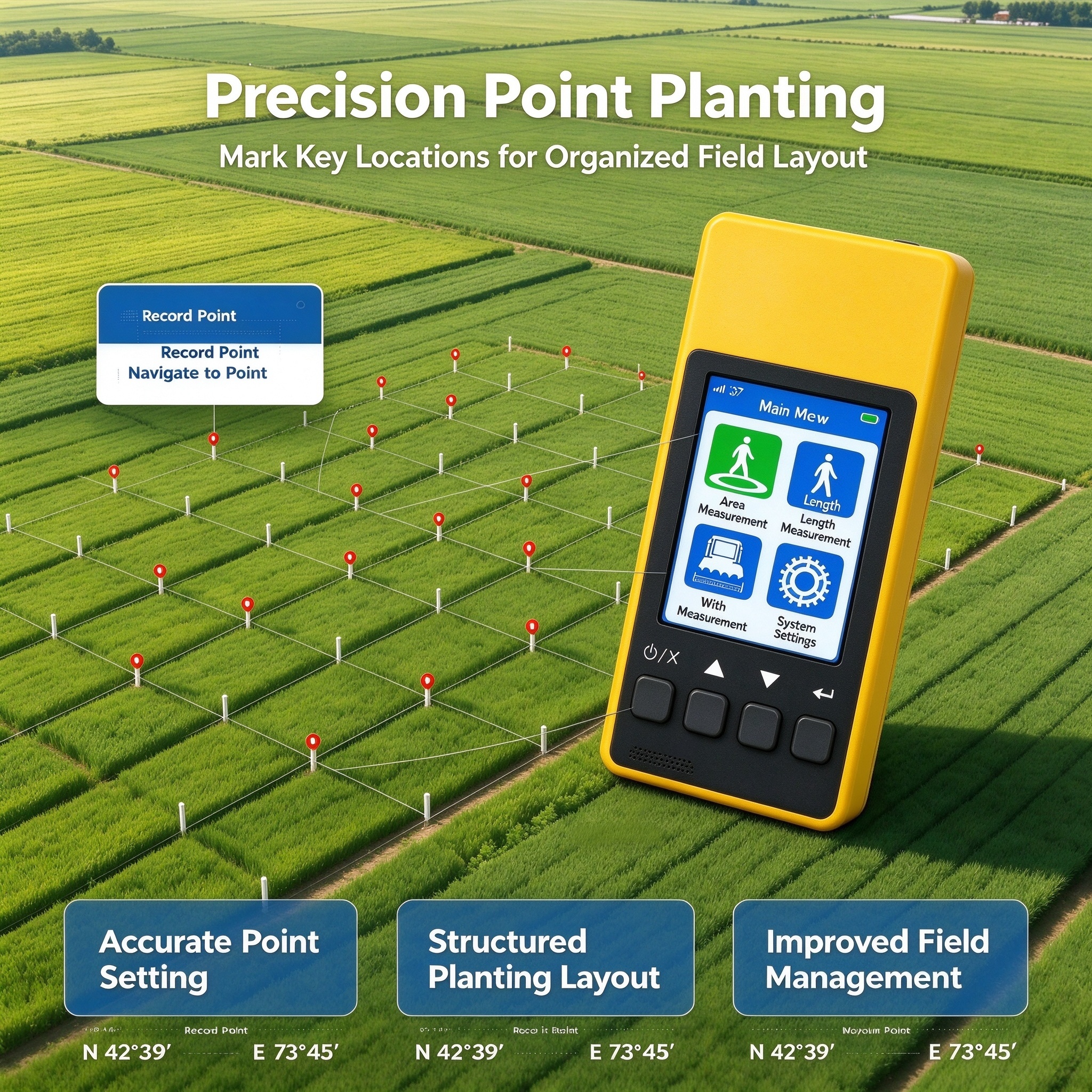
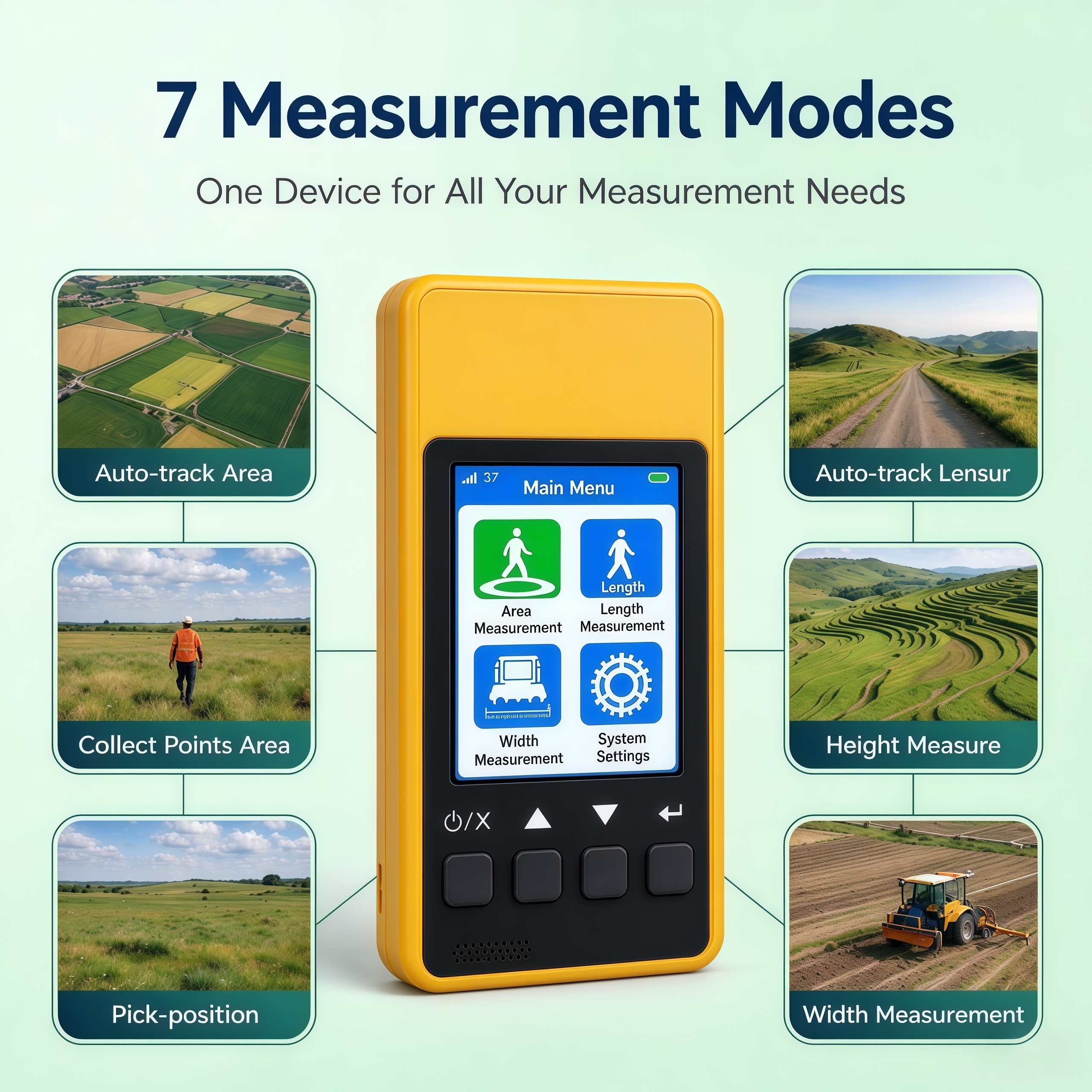
The P10 series acreage measurement devices include three versions: dual-frequency single-point (P10), dual-frequency RTK (P10RTK), and full-frequency RTK (P10 Full-Frequency), with the full-frequency version being the flagship model. The Full-Frequency version supports multi-system full-frequency points, including BDS, GPS, Galileo, GLONASS, QZSS, IRNSS, and SBAS. It acquires more satellites and locks on faster in complex environments, with RTK positioning accuracy reaching the centimeter level. The P10 uses PPP positioning and requires no differential service; the P10RTK uses 4G differential positioning and automatically connects to CORS upon startup to achieve stable centimeter-level positioning. The entire series supports area measurement, length measurement, fixed-width measurement, and elevation difference measurement. By connecting to the Binghe Surveying app via Bluetooth or NFC, users can access agricultural surveying functions such as terrain analysis, marking and locating drainage stakes, and grid-based planting. Equipped with a 2.8-inch screen and IP65 protection, the devices offer a 13-hour battery life. They are suitable for area measurement in farmland, forest land, construction sites, and irregular plots, meeting professional needs in agricultural planning, land management, and engineering construction.
Key Features
Specifications
Applications
- Area surveys of farmland, forest land, construction sites, and irregularly shaped parcels
- Agricultural planning, land management, and construction projects
- Earthwork volume calculations for site grading
- Marking and locating water discharge piles
- Layout for regular planting patterns