RTK Precision Positioning

Covers RTK survey stations, base stations, handheld terminals, and area meters, with customizable housing colors and logo branding.

RTK Precision Positioning

Covers RTK survey stations, base stations, handheld terminals, and area meters, with customizable housing colors and logo branding.

11Products
C-Series RTK Rover
C10/200/300

C-Series RTK Rover

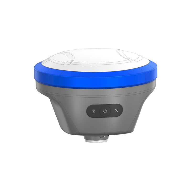
Built-in full-system full-band satellite positioning module, high-precision survey antenna, tilt measurement module, Wi-Fi and Bluetooth modules, plus a large-capacity battery. Adopting magnesium alloy housing, it features compact size, light weight, high accuracy and comprehensive functions.

Full-bandPPPType-C
Learn More
M-Series RTK Rover
M10/200/300

M-Series RTK Rover

Compact round design, with the M10 now in mass production. It supports full-frequency RTK, tilt measurement, and PPP, and integrates a full-constellation multi-frequency GNSS module, high-precision survey antenna, tilt measurement module, Wi-Fi, Bluetooth, and a large-capacity battery. Built with a magnesium-aluminum alloy housing.

Round FormTF CardCustom
Learn More
A-Series RTK Rover
A10/200/300

A-Series RTK Rover

Full-featured flagship model, scheduled for mass production and launch in November, with integrated visual measurement and laser measurement.

Full FeatureVisualLaser
Learn More
BP3 RTK Base Stations
BP3

BP3 RTK Base Stations

The BP3 Portable GNSS Base Station is a high-performance, multifunctional portable base station designed for long-term continuous operation. Equipped with a full-constellation, multi-frequency RTK module, it supports multiple data links including 4G, Bluetooth, and LoRa/FSK. With flexible communication options, it provides stable and reliable high-precision positioning reference services for surveying, engineering, agriculture, and more.

PortableNetworkMulti-lang
Learn More
RTK660 Handheld
RTK660

RTK660 Handheld

A full-featured handheld RTK positioning device supporting online/offline maps and PPP-RTK. With built-in 4G, CORS service, and cloud data sync, it uses a high-precision GNSS module and supports GPS, BeiDou, Galileo, QZSS, and other satellite navigation systems. In RTK fixed solution mode, positioning accuracy reaches 1–2 cm, making it ideal for precise surveying and outdoor applications.

Full-bandPPP-RTKOffline Map
Learn More
D10 / D15 Handheld
D10/D15

D10 / D15 Handheld

Built with a full-frequency or dual-frequency GNSS module, Wi-Fi, Bluetooth, and a large-capacity battery, and paired with an external high-precision quadrifilar helical antenna. Compact, lightweight, accurate, fully featured, and easy to operate, it is designed for agricultural point surveying, as well as power grid, railway, energy, and other industry applications.

BDS PPPVoice4G/WiFi
Learn More
U26 Compact RTK
U26

U26 Compact RTK

Compact RTK locator, full-band RTK + PPP + tilt measurement.

Full-bandTiltPortable
Learn More
Full-Frequency RTK Area Measurer P10
P10

Full-Frequency RTK Area Measurer P10

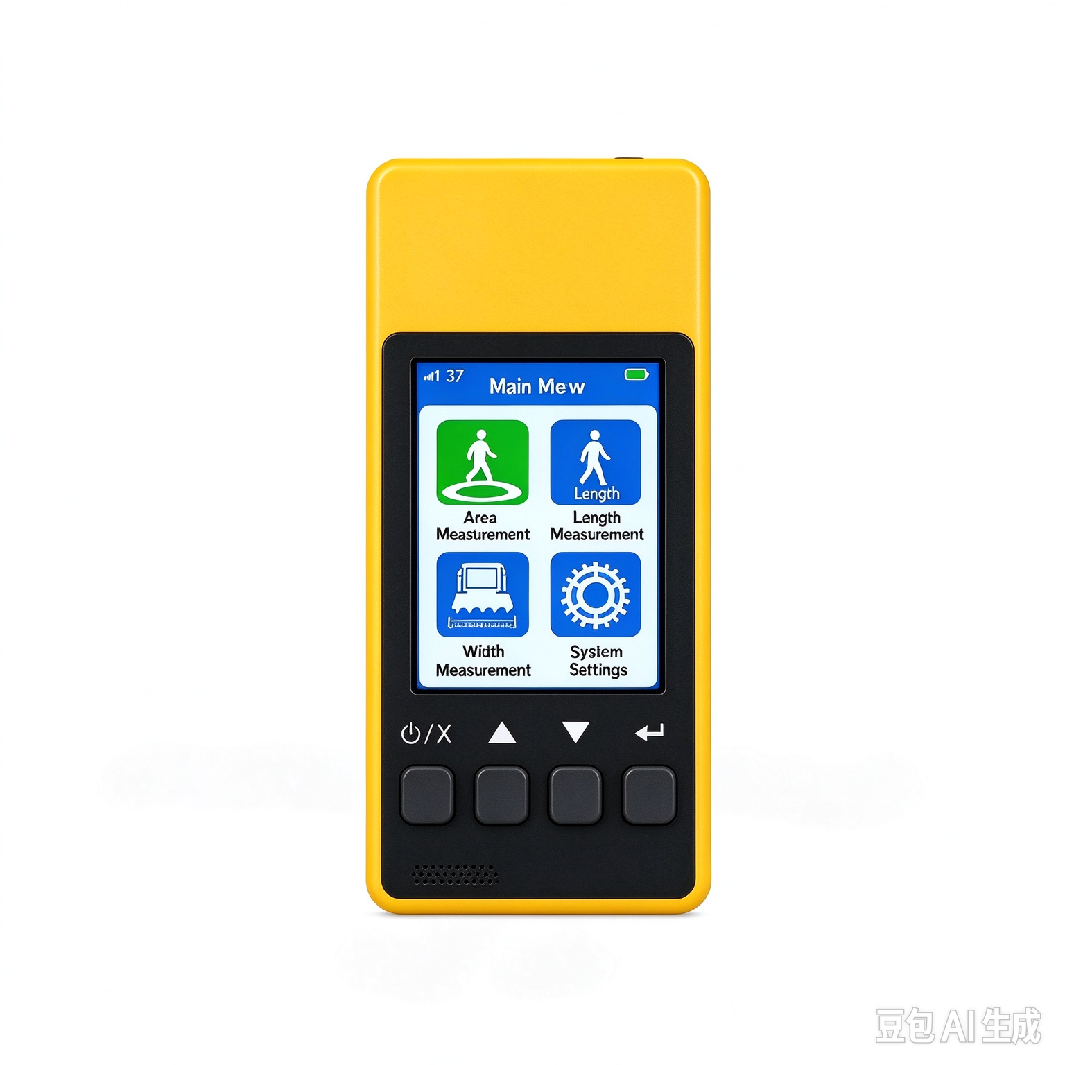
Full-Frequency Edition Highlights: Supports BDS/GPS/Galileo/GLONASS/QZSS/IRNSS/SBAS full-frequency points, with fast satellite acquisition and rapid positioning Three Versions: P10 Dual-Frequency Single-Point (PPP), P10RTK Dual-Frequency RTK (4G Differential), P10 Full-Frequency RTK (Full-Frequency Centimeter-Level Accuracy) The entire series supports area, length, fixed-width, and elevation difference measurements Supports terrain analysis, water level marker placement, and grid-based planting 2.8-inch screen, IP65 rating, 13-hour battery life Bluetooth/NFC connectivity with the Binghe Surveying app

P10P10 RTKP10 Full-Band
Learn More
BN4 RTK Base Station
BN4

BN4 RTK Base Station

The BN4 Network Base Station is a highly stable GNSS network base station designed for indoor server rooms and equipment rooms. Optimized from the BP4 platform, it supports 24/7 continuous operation. It enables fully automated operation: after power-on, it automatically completes satellite positioning, logs into the ICECORS backend, and continuously uploads RTCM correction data at 1 Hz. With Ethernet, Wi-Fi, and 4G network access, plus full-constellation high-precision GNSS reception, it is widely used for CORS network construction, fixed station deployment, high-precision monitoring, and multi-industry equipment integration.

Learn More
BP4 RTK Base Station
BP4

BP4 RTK Base Station

The BP4 Portable GNSS Base Station is a high-performance, multifunctional portable base station designed for long-term, continuous, and stable operation. Equipped with a full-constellation, multi-frequency RTK module, it supports 4G, Bluetooth, LoRa/FSK, and other data links. With flexible communication options for different scenarios, it provides continuous and stable centimeter-level positioning reference services for surveying, construction, smart agriculture, and more.

Learn More
C3 Measuring Acreage Instrument
C3

C3 Measuring Acreage Instrument

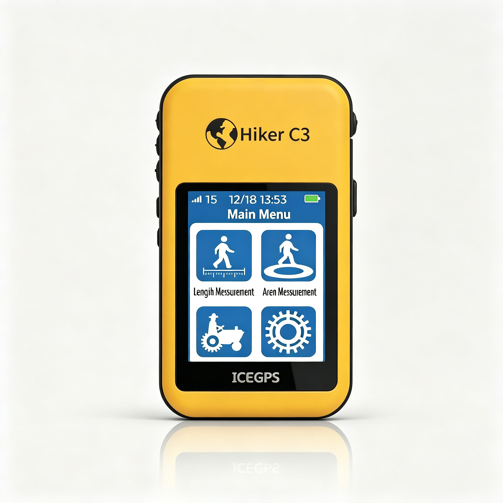
The C3 Land Area Measuring Instrument is a satellite positioning device specifically designed for land surveying, supporting three measurement modes: area, length, and fixed width. It utilizes multi-system positioning—including BDS, GPS, QZSS, GALILEO, GLONASS, and SBAS—with a positioning accuracy of <2.5 m. Equipped with a 2.4-inch semi-reflective, semi-transmissive touchscreen, it features a minimalist four-button operation system. The device can store over 500 measurement records with maps, supports automatic calculation of total amounts based on a unit price per mu, and includes a slope compensation function. With an IP65 rating and a battery life exceeding 8 hours, it is suitable for measuring the area of farmland, forest land, construction sites, and irregularly shaped plots.

Learn More

Need more product information?

Contact us for spec sheets, quotes and custom solutions.

Get in Touch